


Understanding Primary Land Use Tax Lot Output and Its Relation to Tax Lots

In “Are Massive 1000-Unit Structures the Answer to Our Housing Shortage?” I used the Primary Land Use Tax Lot Output (PLUTO) database to explore which building in NYC has the most number of units. Throughout that process, I realized how valuable and comprehensive the data contained in PLUTO is. One of the fundamental components of PLUTO is the concept of tax lots. At first, I was a bit confused with what a tax lot is and why a tax lot can have more than one building. So, I started to explore. The data dictionary is helpful, but I found the definition provided, “The number of the tax lot. This field contains a one to four-digit tax lot number. Each tax lot is unique within a tax block” unsatisfactory.1
In this article, I will delve into the significance of tax lots, exploring why PLUTO employs them and distinguishing them from other similar concepts like zoning lots.
What is Primary Land Use Tax Lot Output (PLUTO)?
Primary Land Use Tax Lot Output (PLUTO) is a sophisticated database that encapsulates vital information about properties within NYC. Developed by the Department of City Planning, PLUTO is a NYC Open Data resource that provides a wealth of information about the city’s tax lots such as its land use, property characteristics, and other essential data and serves as a valuable resource for urban planning, research, and policy development.
What is a Tax Lot?
A tax lot is a fundamental unit of measurement in PLUTO, representing a parcel of land with a unique identification number maintained by the Department of Finance.2 This identification number is crucial for assessing property taxes and facilitating accurate record-keeping. Tax lots are delineated by legal property boundaries and are essential for categorizing and managing information related to individual parcels of land within NYC.
Why Does Primary Land Use Tax Lot Output Use Tax Lots?
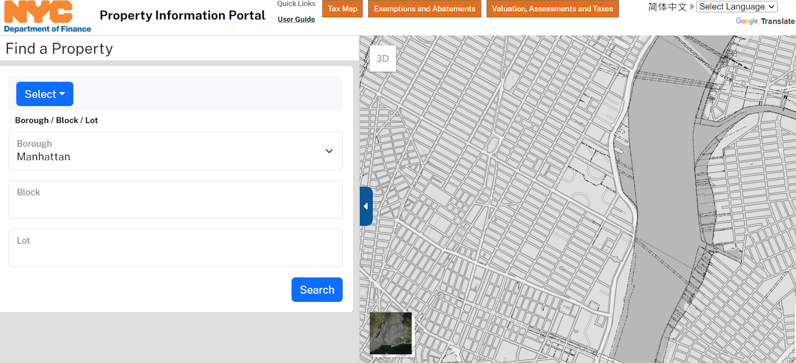
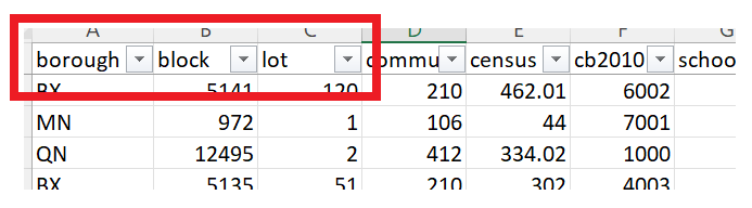
PLUTO utilizes tax lots as a foundational element because they provide a granular and specific way of organizing and categorizing property-related data. There are three factors that go into identifying a tax lot including: the unique borough, block, and lot number. This is important because the data has a field called “lot” that according to the dictionary is a tax lot. While that is the tax lot, the combination of borough, block and lot number is what makes each row in the table unique and thus is the unique identifier. These three factors make up the Borough-Block-Lot, which is another field in the data set.3
Tax lots facilitate precise identification and differentiation between individual parcels of land, enabling accurate analysis and assessment of various aspects such as land use, zoning regulations, and property characteristics.
Why Does Primary Land Use Tax Lot Output Use Tax Lots Instead of Something Like Zoning Lots?
PLUTO focuses on tax lots due to their direct connection with property taxation and legal delineation. Tax lots offer a clear and unambiguous way of identifying and classifying land parcels, making them an ideal choice for a comprehensive database like PLUTO.
Unlike zoning lots, which are primarily associated with land use regulations, tax lots serve a broader purpose by encompassing various aspects of property information.
The key distinction between a tax lot and a zoning lot lies in their primary purpose and scope. A tax lot is primarily associated with property taxation and serves as a fundamental unit for assessing taxes and maintaining property records. On the other hand, a zoning lot is more focused on land use regulations, zoning requirements, and the legal framework governing how a particular piece of land can be utilized.4
Tax lots and zoning lots play essential roles in urban planning. A zoning lot can contain more than one tax lot but there may be some overlaps. But a zoning lot is not as granular.
PLUTO provides information about zoning districts.
How can multiple addresses / buildings be on one tax lot?
As I started to understand why tax lots are used, I noticed that there can be multiple buildings on one tax lot. This can happen because all the buildings are assessed together. When multiple buildings or units are owned by the same entity or cooperative, it's common to consolidate them into a single tax lot. This reflects the collective ownership structure, where residents in a cooperative, for example, collectively own shares in the entire property.
Conclusion:
Primary Land Use Tax Lot Output, with its reliance on tax lots, provides a valuable tool for urban planners, researchers, and policymakers to understand and analyze the complex landscape of properties within a city. The use of tax lots in PLUTO reflects their significance in accurately categorizing and managing property-related information, making it an indispensable resource for effective urban planning and decision-making.
It is great that PLUTO is a free resource. The data set is intended to be accessible to the public, including the average user. They are designed to promote transparency, collaboration, and innovation.
However, the basic unit that is being used to speak about the data is intricate and generally unfamiliar to the average user. To make sense of these datasets, users need a foundational understanding that surpasses ordinary knowledge. Lacking this baseline knowledge can leave users grappling with a maze of technical jargon and intricate relationships within the data. At the very least, it requires some baseline knowledge on where to go for more information.
Cool to see this dive into PLUTO! There’s a ton of interesting information in it. I found the data about the year that buildings were constructed to be quite interesting.